Summary
With a growing student population, multiple campuses across Western Sydney, and an increasingly mobile-first generation of learners, Western Sydney University (WSU) recognized a fundamental issue: traditional campus signage was no longer enough.
Driven by a commitment to accessibility and operational efficiency, WSU set out to modernize its wayfinding infrastructure. The goal was clear, make it easier for students, especially those with mobility challenges, to navigate campus independently, while reducing the maintenance burden of static signage.
About Western Sydney University
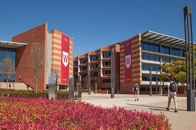
Western Sydney University is one of Australia’s largest and most dynamic higher education institutions, serving over 45,000 students across 11 main campuses and precincts. With a mission to foster inclusive, student-centered learning, WSU has consistently ranked among the world’s top 250 universities and leads the sector in equity, innovation, and community engagement.
As a geographically distributed university, WSU faces unique challenges in delivering consistent services and experiences across physical spaces. These challenges are managed by the Office of Property and Commercial, which oversees infrastructure, commercial tenancies, and campus environments.
The Challenge
For years, WSU relied on physical signage and static maps to help students and visitors find their way around campus. But as the university grew and student expectations evolved, so did the complexity of the challenge.
- Accessibility: Students with mobility impairments struggled with long detours or unclear signage.
- Maintenance: Updating traditional signs across a large network of buildings was time-consuming and expensive.
- Responsiveness: Events like demonstrations or orientation days required rapid updates, something physical infrastructure couldn’t support.
- Digital habits: Most students now rely on their smartphones to navigate, making static signage feel outdated.
The moment that crystallized the need for change came when a student asked the Vice Chancellor for directions, an everyday question that underscored a broader challenge already recognized across campus teams. It served as a timely reminder that even well-managed infrastructure can fall short in delivering a seamless, intuitive experience, especially as student expectations evolve.
The Solution
To address these challenges, WSU implemented a campus-wide digital wayfinding solution that would give students real-time access to interactive maps directly from their phones, using strategically placed QR codes across key touchpoints.
The chosen platform, MazeMap, provided a flexible and scalable solution that met the university’s immediate needs and opened the door for future innovation.
Core Features and Benefits
- Mobile Access via QR Codes: Students can scan and instantly access maps without downloading an app.
- Accessibility First: Routes account for mobility needs, making campus navigation inclusive.
- Live Updates: Staff can update maps instantly to reflect changes in real time, supporting everything from orientation logistics to demonstration-related route changes.
- Commercial Support: On-campus businesses can link menus and offerings directly in the interface, increasing visibility.
- Accommodating future needs: WSU plans to use MazeMap’s JavaScript API to integrate with shuttle GPS tracking, booking systems, and student apps.
Looking Ahead: Building a Smart Campus Ecosystem
WSU is just beginning to tap into the platform’s full potential. Future plans include:
- Real-time shuttle tracking powered by MazeMap’s JavaScript API
- Integration with the university’s mobile app, student management system, and room booking tools
“MazeMap is making our campuses more accessible and navigable. With the ability to push instant digital updates, students, staff, and visitors always have the most accurate information at hand, creating a smoother and more engaging campus experience.”
- Grant Delandro, Office of Property and Commercial, Western Sydney University