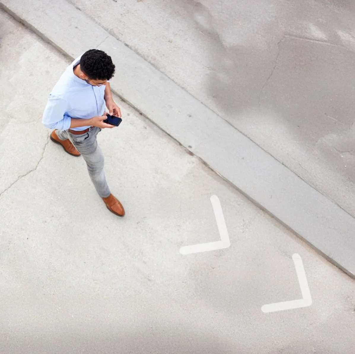
Campus Wayfinding Software: How Indoor Navigation Improves Campus Visits
A parent looking for the admissions office. A prospective student trying to find a lecture hall before orientation ends. A wheelchair user who needs a step-free route to a lab. On a large university campus, these small moments of confusion add up - and they shape how people feel about the institution before they even sit down.
This is the problem campus wayfinding software is built to solve. Indoor and outdoor maps give visitors, students, and staff clear digital directions inside buildings, not just to them, closing the gap that paper maps and static signage leave behind.
Why Universities Struggle with Campus Wayfinding Software
Most campuses already have outdoor maps - parking lots, building outlines, walking paths. The struggle starts once someone steps through the front door. A handful of recurring issues show up again and again:
- Buildings aren't designed to be self-explanatory. Renovations, additions, and repurposed floors mean corridors rarely match the mental map a visitor expects.
- Signage can't scale. Physical signs are fixed, expensive to update, and can't be personalized for different audiences (a professor in a science speciality campus needs different information than a delivery driver).
- Data readiness is underestimated. Building accurate indoor maps requires CAD drawings (DWG, IFC, or PDF architectural drawings) and point-of-interest data, many facilities teams don't realize this groundwork is needed before a rollout can start. The right vendor will work with the university to enable them gather this information in an accurate format.
- Ownership is unclear. Wayfinding often falls between facilities, IT, and communications, so it never gets a dedicated budget or owner.
None of these are reasons to avoid indoor navigation, they're simply the planning steps that get skipped when a campus tries to solve wayfinding with signage alone.

How Indoor Navigation Platforms Improve the Campus Visitor Experience
Once a campus has accurate indoor and outdoor maps in place, several practical improvements follow:
Turn-by-turn directions replace guesswork. Instead of a static floor plan, visitors get step-by-step instructions with distance indicators ("12m forward, then turn left") and 3D visualization of their surroundings, so there's no ambiguity about which floor or corridor to take.
Kiosks reduce staff interruptions. Campus buildings can run wayfinding in kiosk mode on entry screens, letting visitors search for a destination and get A-to-B directions without pulling a staff member away from their work. Visitors can scan a QR code to continue the same directions on their own phone.
Different audiences see different maps. A single building can have multiple map views - one for staff showing locker rooms and staff-only areas, and one for visitors showing only public, key-card-free spaces. This keeps private areas out of public view while still giving everyone the directions they need.
Assets and rooms become visible in real time. Beyond people, the same platform can track meeting room availability, printers, and equipment - in healthcare and lab settings, that includes wheelchairs and IV pumps - using BLE, RFID, or GPS tagging, with IoT integrations extending the same map to sensors and devices.
The result is fewer missed appointments, fewer support calls to reception, and a visitor experience that reflects well on the institution from the first interaction.
What Causes Students to Get Lost Despite Digital Indoor Maps
It's a fair question: if a campus already has a digital map, why do students still get lost? Usually it comes down to the map being a static image rather than an interactive navigation tool.
- A PDF or image map shows the building - it doesn't guide the person through it. Without live routing, someone still has to interpret the map themselves.
- Accessibility isn't built in. A student using a wheelchair or a cane needs routes that automatically avoid stairs and obstacles - not a separate accessibility map they have to find and cross-reference.
- The map isn't updated. Renovations, temporary closures, or new room numbers make outdated maps actively misleading rather than just unhelpful.
- There's no audio option. Students with visual impairments need screen-reader-compatible, voiceover-guided navigation, which most static campus maps don't offer at all.
Solving this requires software that calculates routes dynamically, includes an "avoid stairs and obstacles" toggle, and supports industry-standard screen reading - not a better-looking static map. This is exactly the gap covered in MazeMap's campus accessibility plan resource, which walks through how to build accessible wayfinding into a broader inclusion strategy.
How this plays out on campus: at Uppsala University, MazeMap's audio navigation - built in cooperation with the Norwegian Association of the Blind and Partially Sighted - lets a student search for a specific lab, get automatically generated directions, and follow them by voiceover alone, without needing to look at their screen. That's the difference between a map a student has to interpret and one that actually walks them there.
The impact shows up in how staff describe it. Claes Asker, CIO at Karlstad University, has said students "get a lot of value from finding their way with MazeMap" and do it "faster and better." At Bergen University College, project manager Alicia Churchill noted that the learning environment became less stressful, adding that "more students arrive on time" during exams. See more examples on MazeMap's case studies page.
Core Features to Look for in Campus Wayfinding Software
Feature What It Solves Turn-by-turn navigation. Removes ambiguity about floors, corridors, and turns. Accessible routing. Automatically avoids stairs and obstacles for wheelchair users. Audio/screen-reader navigation. Gives visually impaired students independent mobility. Kiosk mode. Lets entry-point screens serve as self-service directories. Map views by audience. Shows staff, patients, or visitors only what's relevant to them. Asset and room tracking visualization. Extends the same map to equipment, meeting rooms, and IoT devices. Map export. Produces printable or georeferenced maps for offline use or systems like Cisco Prime Interface.
How to Evaluate Campus Wayfinding Software
The right platform should fit your campus today and remain manageable as buildings, room names and visitor needs change. Before shortlisting a provider, ask:
- Can it connect indoor and outdoor journeys across the full campus?
- Does it provide step-free and screen-reader-compatible navigation?
- Who updates maps after renovations, closures or room changes?
- Can different audiences receive different map views?
- Does it work with university websites, apps, kiosks and existing systems?
- What data must the university provide?
- What implementation and ongoing support are included?
A useful evaluation starts with one real journey, such as parking to admissions or the main entrance to a lecture hall. Testing that journey helps compare routing quality, accessibility, administration and operational fit instead of judging platforms only by how their maps look.
What a Campus Needs Before Rolling Out Indoor Navigation
Before implementation, most of the groundwork is data, not software:
- CAD drawings in DWG or IFC format, or PDF architectural drawings, for each building
- Point-of-interest (POI) information — rooms, offices, amenities
- Accessibility-specific POI data if step-free routing is a priority
- A clear use case for map views (who is this view for, and what will they use it for?)
Campuses that gather this upfront move from planning to a working pilot much faster than those that try to retrofit data mid-rollout.
Bringing It Together
Campus wayfinding software isn't just a nicer map - it's the difference between a visitor finding their way independently and a visitor asking three people for directions before giving up. Universities that treat indoor navigation as core infrastructure, alongside accessible routing and real-time updates, see the payoff in fewer missed appointments, less staff interruption, and a campus that feels easier to navigate from day one.
Comparing campus wayfinding platforms? book a demo with MazeMap to discuss your buildings, integrations, accessibility requirements and visitor journeys.