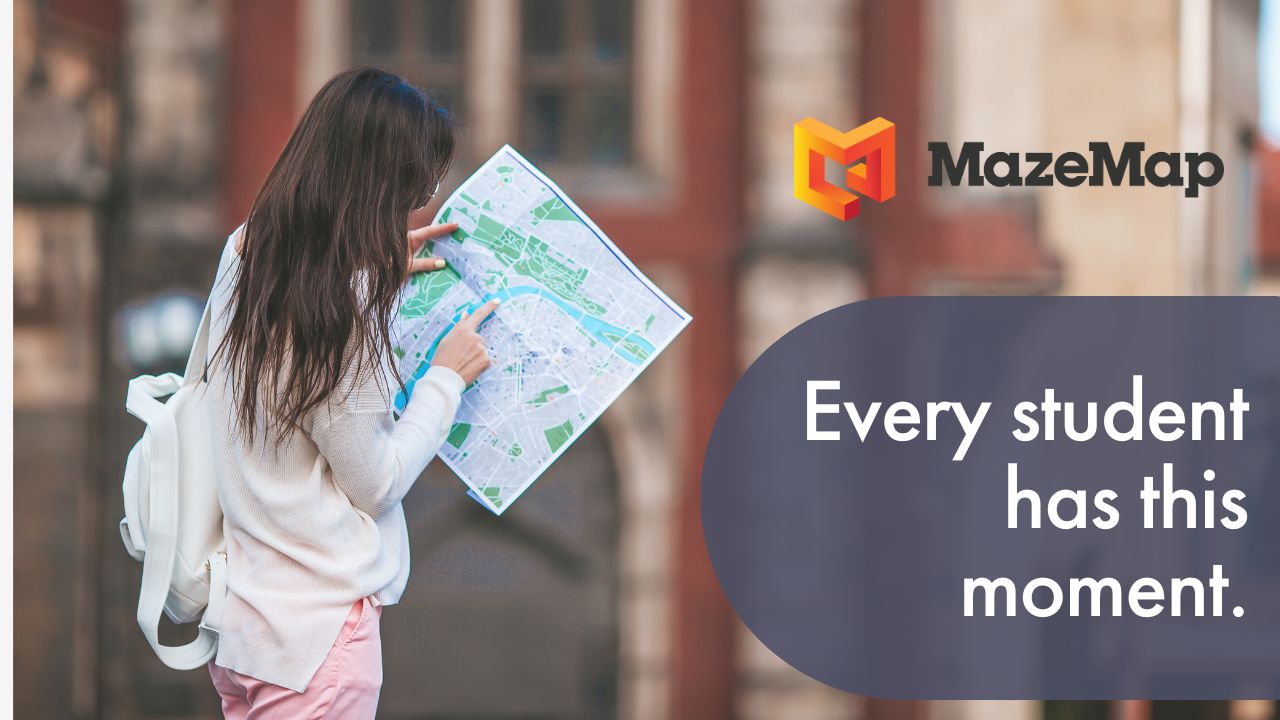
"We love MazeMap for two reasons. First, because it's the most user friendly indoor map and navigation tool that we could find. And second, because of its openness and great APIs - this allows us to quickly develop our own overlays, visualizations and integrations with the platform."
- Jeroen van Ingen Schenau, Sr Network Engineer, University of Twente
About the University of Twente
The University of Twente (UT) is a large campus university based in The Netherlands. The university is built on a former country estate, spanning 140 hectares (1,400,000 square meters).
They have a large number of buildings on campus and approximately 200,000 square meters of building space mapped out. With MazeMap, UT has indoor and outdoor maps, A to B directions, searchable Points of Interest (POIs), accessible navigation for users with disabilities, and visual impairments. They intend to leverage the data from Cisco DNA Spaces to enable indoor positioning (blue dot navigation) and occupancy heatmaps.

With these features they have been able to:
- Visualize data about available parking spaces [1]
- Monitor building occupancy using heatmaps [2]
- Visualize meeting rooms and their availability [3]
- Set up a people count function [4]
- Visualize their IT infrastructure [5]
- Create a 3D overview of the campus [6]
- Export their maps for use in other applications [7]
The challenge
The University of Twente first decided on the need to implement indoor wayfinding with the design of their campus app - a project set out by the Marketing & Communications department. The project theme was ‘Most Welcoming University’.
MazeMap stood out to UT because of the positioning technologies, well-documented APIs, and automatic creation of map paths. They also visited one of our clients, Stavanger University, as well as visiting the MazeMap HQ in Norway. In the words of Jeroen Van Ingen Schenau, Network Engineer at the University of Twente ‘that left us with a good feeling’.
The solution
When UT first implemented MazeMap, they set-up basic maps and routing, as well as trial indoor positioning with Bluetooth Low Energy (BLE) beacons. They used MazeMap in an open-source Geo Information System (GIS) to register where the BLE beacons were located around the building and used LOCUS Positioning as the positioning engine. A Proof of Concept (POC) app was created by AppNormal and MazeMap was finally ready to test.
Twente tried out the indoor positioning in their most challenging building - one that has a large atrium in the center and parallel corridors running throughout. The parallel corridors can make it hard for the indoor positioning to determine which corridor the user is in. However, the pilot with MazeMap was a success and the indoor positioning worked well in the parallel corridors.

Not long after this the university, unfortunately, lost its funding for the app and the project went on hold until further notice. They were, however, still keen to proceed with implementing MazeMap for these key reasons:
- They could use the platform to bring added value to research and education
- It would allow for floorplans to be made easily available
- They could use MazeMap as a base layer to visualize data from other systems
Visualizing IoT
The University of Twente has set-up a number of clever integrations that help students, staff, and visitors to have an improved campus experience.
[1] Parking lot sensors

This feature proved to be an easy integration for the IT team to get up and running. Individual parking bay sensors are set up in the parking areas. Availability is synced from the sensor database to the parking management system in real-time. Position data also comes from the parking management system, allowing the location of free spaces to be visualized on MazeMap. This allows for a real-time overview of parking availability, which users can check before they’ve even left the house.
[2] Occupancy heatmaps

The university was able to create its own WiFi heatmaps, utilizing the MazeMap API and data directly from the Cisco wireless controllers. The heatmaps work by detecting how many devices are connected to the WiFi access points around the campus. Multiple devices are then de-duplicated based on user login info. The data is then visualized on top of MazeMap, showing red for areas where there is a high density of people, ornate for a medium density, and green for low density or empty.
This type of heatmap is a great way for students to find a quiet place to study, for facilities staff to monitor building usage, or for staff and students to safely navigate campus buildings during the COVID-19 pandemic.
The University of Twente is currently using the heatmaps functionality to help students and staff avoid busier areas on campus and to stick to social distancing recommendations.
[3] Room occupancy

In addition to monitoring building occupancy, the university is also able to mark bookable rooms as either free or occupied. More and more rooms are being equipped with presence sensors, for example, the wireless (LoRaWAN) sensors from Swedish firm Elsys. By leveraging a new API from MazeMap, room-level occupancy can be displayed in near real-time.

The room sensors can also show information such as temperature, humidity, and when the data was last updated. This data can then be overlaid on MazeMap alongside a list of assets that are available in that room (projector, whiteboard, etc.) This sensor data allows users to select a room depending on their temperature or humidity preference, creating a more personalized user experience.
[4] Person count

In order to help with occupancy monitoring during the COVID-19 pandemic, UT set up a visualization tool so that a people count can be done for each of the university buildings. UT achieved this by pulling a list of buildings from the National Land Registry. They then used a geo database combined with data from their access points to plot the outlines over the top of MazeMap. From there, they were able to easily incorporate a mouse-rollover function that displays the person count. In addition to this, colour coding to reflect occupancy levels was used on each of the buildings.
[5] Visualization tool for IT infrastructure
The MazeMap platform allows the university to overlay data relating to where important assets are located around the building. WiFi access points, BLE beacons, WiFi trackers, and other related hardware can be accurately placed and located on the map, making maintenance easier should anything malfunction.
[6] 3D campus

Using the MazeMap platform, the university was able to create a 3D visualization of the campus buildings with wireless access points included, to give IT staff more insight into the relative positions of wireless infrastructure across floors.
[7] Exportable maps
The MazeMap platform has enabled the University of Twente to export its map features for other projects in GeoJSON and the spatial database PostGIS DB. The map features are also used to feed Cisco Prime (the wireless management system) with up-to-date maps.
What does the future hold?
Integration with Planon
The University of Twente uses Planon as FMIS (Facility Management Information System). Keeping MazeMap up-to-date with source data is now done by a combination of manual work and scripts, which is not ideal. UT is working with MazeMap and Planon to create a more seamless integration.
Sensor integration
One of UT’s future projects involves fully integrating with sensors to natively show the availability of rooms. MazeMap will open up an API for UT which they can use to push the data in order to avoid having specific sensor or vendor support from MazeMap.
Connection maps for IT infrastructure
To continue making their infrastructure easier to track and manage, they plan to translate the locations of network outlets from CAD drawings onto their map overlay. This will help the IT department to get a better view of where connections originate and terminate, and quickly search for connections in a way that wouldn’t be possible with the traditional, technical CAD drawings.
Live transport information
UT also plans to make some upgrades to their current bus stop and public transport information. They plan to add bus stop locations to the maps and have these link-up with live bus information. Currently, they have to manually enter bus times, so if a bus is delayed or canceled, this won’t be reflected.
Time-lapse visualizations
Finally, UT has some exciting ideas for data visualizations that they can overlay with MazeMap. They plan to show the movement of people around campus in the form of time-lapse visualizations. This will allow them to see how the campus spaces are utilized as well as being able to monitor occupancy and see which times are busiest. They also plan to set up time-lapse visualizations to monitor the movements of a stinging species of caterpillar, which has taken up residence on campus! If they can display the areas where the caterpillars are most prevalent on the map, then students will know to stay away from these areas.
If you’d like to discuss how MazeMap can help out your organization, get in touch for a non-committal chat.