BY STEINAR MORLAND
UPDATED BY LAURA HODGE

This blog post continues our series on how mobile technology can help universities create a competitive advantage in offering a superior student experience. In the previous part, we discussed what sort of mobile content it makes sense to provide on a mobile platform. This post will focus on how universities can turn the tables and use mobile hardware technology to something useful for both students and the universities themselves.
Back in 2015, the ECAR report on student technology adoption revealed that as many as 92% of all students own and make use of smartphones. This has vital implications for how universities should reach and serve the users of their facilities to create a better university experience. However, the report also concludes that the higher education sector has a long way to go in leveraging the opportunities that lies within this widespread use of mobile devices. Fast forward to 2020 and the report notes that universities are ‘failing to leverage students' mobile devices for learning as much as they could or as much as students would like.’
Smartphones are extremely sophisticated tools with a wide array of high-tech hardware. The fact that everybody carries smartphones also mean that everyone is carrying a GPS, a Bluetooth device, a WiFi receiver, a series of sensors and a camera. What sort of possibilities lies within these technologies to create a better user experience of the university?
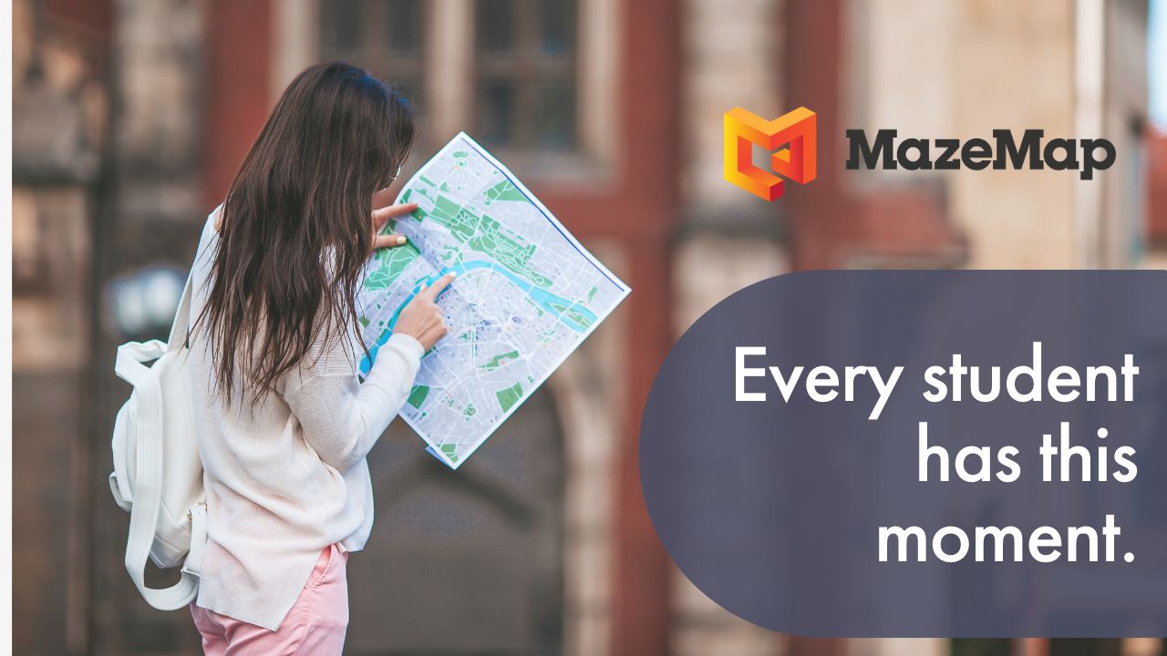
Digital wayfinding
One of the most obvious use cases of mobile technology is wayfinding on campus. With GPS and a campus map, you can navigate between buildings. However, this only solves a tiny bit of the wayfinding problem. Most users of the university know the different buildings after a short time. However, how to find a specific lecture theatre, office or meeting room across a large campus area can be hard even for long-time users of the campus. Can mobile hardware solve this problem too?
This would be a pretty lousy blog post if the answer wasn’t yes. Of course there’s a neat solution. There are two components to such a solution, namely map data and indoor positioning.
1. Map data
The first issue is map data. Not many universities have indoor map data available for staff and students to use for wayfinding, even if it represents a far larger problem than wayfinding between buildings. However, this data is available from the technical floor plans of the university. There are companies, like MazeMap, who strip down all unnecessary data to provide digital and searchable indoor maps from these floor plans.

Once the maps have been created, they can be used in a mobile browser, or as a mobile app. QR codes can even be added to physical signage, giving students the ability to scan the QR codes on their smart phones which would open up the digital map with directions to their selected end point.
2. Indoor positioning
With the map data issue solved, indoor positioning is next. As you probably know, GPS does not work well indoors because GPS signals do not walk through walls as well as ghosts! The signals get weak, and the positioning service has too low accuracy to be of any real help. However, there are several ways to utilize the sophisticated hardware of smartphones to get better positioning.
The simplest solution is using the existing WiFi infrastructure. For devices that are connected to the WiFi network, it is possible to triangulate the device's position indoors by comparing the WiFi signal strength from different WiFi access points. Similarly, BLE beacons can be placed densely throughout the buildings to provide an accurate position of phones that have Bluetooth enabled. One can also measure the magnetic fields in all floors of the buildings to get positioning through sensors in smartphones identifying exactly where they are located within the measured area. There are several possibilities, and in later blog posts we will discuss the advantages and disadvantages of all these.
Mutual for all these positioning services is that we need to plug them into the indoor maps to provide wayfinding. With indoor maps and positioning, all users of the campus area can search for the nearest toilet, their next meeting room or the best onsite parking, and get A to B wayfinding all the way. The wayfinding service can be integrated in web pages, room booking systems, time tables and self-service check in kiosks. All this is possible due to the fantastic opportunities of smartphone hardware!
Space management
Apart from offering a greatly enhanced student experience, positioning services and indoor maps can also provide other benefits for the university itself. When students use positioning, it is possible to store and monitor the data for analytical purposes. (And of course, these should be anonymous data that can’t be traced to specific individuals).

One can get an overview of which routes users of the campus area take most frequently, and how many people use certain auditoriums or meeting rooms at any given time of day.
These features allow for efficient space management, helping the university to understand how much space is needed for different lectures and activities, and optimizing what rooms to utilize for different purposes. This way, not only does positioning and indoor maps provide a superior student experience, the university itself can save money by utilizing already existing spaces instead of having to build or rent out new areas.
Read parts 1 and part 3 of our series on crafting a great student experience.