BY STEINAR MORLAND
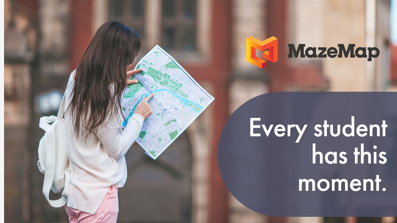
MazeMap is a provider of indoor map systems for large building complexes like universities, hospitals, shopping malls and conference venues. MazeMap strives to bring the most value out of these building complexes – both for the users and facilitators of these buildings. This blog post will outline four ways MazeMap helps to create efficient buildings.
1. Using floor plans to build indoor maps
Inside huge building complexes, it can often be very hard to know where everything is located. Technical floor plans contain useful information on where rooms are located inside a building. The problem is that these neither are accessible nor possible to understand for common people. MazeMap makes automatically generated maps from these floor plans and strip down all unnecessary information to give you an easy, digital overview of all the floors of a building. These indoor maps are searchable by their technical room names and their abbreviations, and you can even add specific icons and points of interests. The maps are easily linkable and shareable. This way, MazeMap enables all people to access easy information on where all rooms inside a building complex are located.
2. Easily available indoor maps for everyone
Having indoor data and maps does not add value if people can't use them. The data needs to be accessible to as many users of the buildings as possible. That's why MazeMap focuses on making maps that are accessible through an ordinary web browser, and not depending on special technology.
“Having indoor data and maps does not add value if people can't use them.”
There is also a mobile application for both Android and iPhone. The ease of accessibility makes MazeMap a very popular service. We see that 15% of users access our service through our mobile application, whereas 85% use different methods, like web browsers.

3. Integrating with existing systems
The benefits of having a new IT system can often become swallowed by the workload of maintaining and updating it every so often. Especially in an indoor map system, the maps always need to be up to date in order to bring value. A good map system should integrate smoothly with your existing datasets.
“A good map system should integrate smoothly with your existing datasets”
MazeMap Indoor Maps integrates smoothly with existing facility management systems, so that the floor plans and room data are fetched automatically, always ensuring updated maps.
APIs for easy integration
Today, most successful software services allow for integration through the use of APIs and easily embeddable widgets. Just think about how easy it is to put a YouTube video on any webpage. An indoor map service isn't any different. It should be easy to add indoor map views on webpages, and it should be easy to re-use the underlying map data and build applications around and on top of them. MazeMap's various APIs allow for just this.
You can integrate with your alarm system, timetable system, room booking system etc. Only your own imagination sets limits to where and how you can integrate indoor maps and information with other services. This way, all your current IT systems can benefit from having added the value of indoor map data.

St. Olavs Hospital in Norway integrated MazeMap Indoor Maps on their self-service kiosks so that they could more easily guide people to their appointment.
“People don't want to be late for their appointments, and It's not unusual for some people to visit the hospital a day in advance, just to figure out where their appointment is.”
Ivar Myrstad, St. Olavs Hospital
4. Wayfinding
One of the most obvious values in having indoor map data is the ability of offering wayfinding to the users of the buildings. It can often be a pain knowing which stairs and hallways to use in order to get to the right meeting room. Should you use south entrance? North entrance? Where is the entrance, anyway? Presenting a suggested walkable path from outside to inside really helps people know where to go. It adds a lot of assurance and removes a lot of the uncertainty related to navigating an unfamiliar environment.

Example of indoor wayfinding with indoor positioning and bluedot navigation in MazeMap
In the indoor maps from MazeMap, users can quickly find the fastest route from A to B inside any indoor maps. Of course, the first part of wayfinding is knowing where you are. But with GPS technology being available on almost every device now, it is easy to give users the start location outdoors. Indoors is a bit more tricky, but that can also be solved. As you probably know, GPS signals can be very weak inside a building, but by utilizing the existing WiFi infrastructure, it is possible to calculate a better indoor position. To enhance the position and wayfinding experience, MazeMap integrates with Cisco WiFi infrastructure and use trilateration to find a more accurate position (3-10 meters). To increase the accuracy even further, it is possible to add positioning by Bluetooth Beacons or other positioning sources (~2 meters).
Do you want to know more about what we do? Please visit our homepage to find out more, or watch the video below.
Do you want to try our service online? Please try our service online to see how smoothly it runs.
Do you want to collaborate with us to run your buildings more efficiently? Please get in touch, and we will be happy to have a noncommittal chat about what we can achieve together.