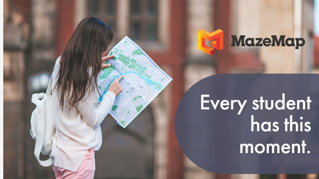
Have you ever used a navigation app to get yourself from your front door to your destination? But then you’ve arrived at the building, not knowing where the entrance is? You finally get into the building, only to then find yourself lost in a maze of corridors? I know I have!
This is not an uncommon experience for new university students. Moving away from home for the first time can be an intimidating experience, without the added stresses of navigating a large campus. Throw in a busy introductory schedule and this experience can quickly become overwhelming.
For staff and visitors to the university, finding their way through the buildings can present a challenge too. Trying to direct someone to a specific room can be difficult and a piece of paper isn’t always the most intuitive (or environmentally friendly) way to solve wayfinding problems.
That’s where MazeMap’s easy-to-use, digital maps come in. So what exactly are the benefits of indoor wayfinding for universities?
1. Reduce lateness and missed classes
Implementing indoor navigation allows your students, employees, and visitors to seamlessly navigate your campus and find exactly what they’re looking for. Knowing where to go saves on time spent wandering lost around the corridors, creating a smoother university experience. Indoor mapping can also help students to quickly find available PC’s, printers, bookable rooms, and other resources. In addition to this, those with disabilities who need accessible routes are able to avoid stairs, and instead, be guided towards elevators and wheelchair ramps.
By integrating MazeMap with Outlook, Gmail or your timetabling system, you can ensure that recipients will receive a MazeMap link which shows you how to get to your destination. Students, staff and visitors will know where to go with just one click. We even feature the university’s parking spaces and public transport stops on our maps, so you can find your way from outside to inside and back again.

2. Reduce stress and uncertainty
When your students and staff have a clear idea of how to navigate between classes and appointments, stress levels can be significantly reduced. For those with mental illnesses, having a clear plan of how to get to where they need to go next can help reduce feeling overwhelmed and ultimately create a more positive experience.
If you choose to implement blue dot navigation, the user has the added benefit of being able to see their current position inside the building, making it easier for them to tell if they are going in the right direction. When located outside, your phone’s GPS allows you to see a pretty exact representation of your position. However, when you move inside, the accuracy becomes far weaker. Our indoor positioning works with the building’s wi-fi access points to solve this problem, creating a seamless transition from indoors to outdoors.

3. Make it easier to collaborate
With MazeMap’s Find My Friends feature, it’s never been easier to set up a study group or find your friends in the library. Staff can choose to turn their location visibility on, allowing students to find where they are located if they need help with their work. Students can also make their location visible to friends so that they can easily find each other around the university campus.
When the user wants to stop sharing their location, this feature can easily be turned off. We work in collaboration with Cisco CMX to obtain user positions in a secure way. Once the user leaves the building’s Wi-Fi network, their location is no longer available. The Find My Friends service can be integrated into a web app, mobile app or website, giving you more flexibility and freedom with how you choose to use it.

4. Allow for better space utilization
A common problem encountered in universities is a lack of bookable rooms. Our meeting room visualization feature uses intuitive color coding to visually illustrate which rooms have been booked and which haven’t. Staff and students can now easily see the available rooms closest to them, saving time and frustration when trying to secure a quiet space to meet.

Another common problem that many universities encounter is the ‘fake usage’ of rooms. Occupancy sensors can be added to rooms to see how they are being utilized and whether those who booked it actually showed up. This allows students and staff to really make the most out of your university’s collaboration spaces.

5. Aid with facilities management
University buildings are dynamic environments, with layouts frequently adapting to the latest demands. Our maps can integrate with your facilities management system, to stay up to date with these changes to your buildings. Points of Interest (POI’s) can be changed, building layouts can be updated and temporary POI’s can be set up for exhibitions and events. If you have construction work in progress, you have the option to show these areas as no-go zones, using the path editor. This allows the map to redirect the flow of traffic to an alternative route.
Once your map has been set-up, you’ll be given access to the map editor so you can customize the map to your needs. You also have the option to export the metadata for the map, meaning that you can print out the current floor plan - for example, for use as a 3D printed map that displays the closest emergency exit.

Are you interested in learning more about the innovative solutions that MazeMap can offer your university? Contact us today for a non-committal chat.
To find out more about how we helped Norway’s largest university with their navigation challenges, read the NTNU case study.
Connect with us on LinkedIn | Follow us on Twitter